 |
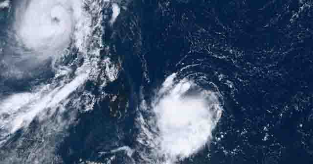
| Tropical Depression Queenie enters PAR and may affect Eastern Visayas or CARAGA Region in the next few days. Photo: Himawari-8 |
TACLOBAN CITY – The Philippine Atmospheric, Geophysical, and Astronomical Services Administration (PAGASA) reported that a new tropical depression named "Queenie" entered the country's weather monitoring area Monday morning, October 31.
Queenie entered the Philippine Area of Responsibility (PAR) at 5 a.m., becoming the 17th tropical cyclone in the country this year and the fifth in October, according to the state weather bureau.
PAGASA said the tropical cyclone is expected to move east of Caraga and into Eastern Visayas.
It may be "unlikely to directly affect" the country on Monday and Tuesday, and that it may weaken into a low-pressure area (LPA) on Wednesday but flooding and landslides are still possible as Tropical Depression Queenie could bring heavy rain, PAGASA said in a press briefing.
PAGASA will begin issuing tropical cyclone bulletins at 11 a.m.
The arrival of Queenie came shortly after the onslaught of severe tropical storm "Paeng," which weakened into a tropical storm on Sunday morning.
